Key Features
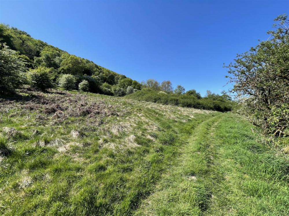
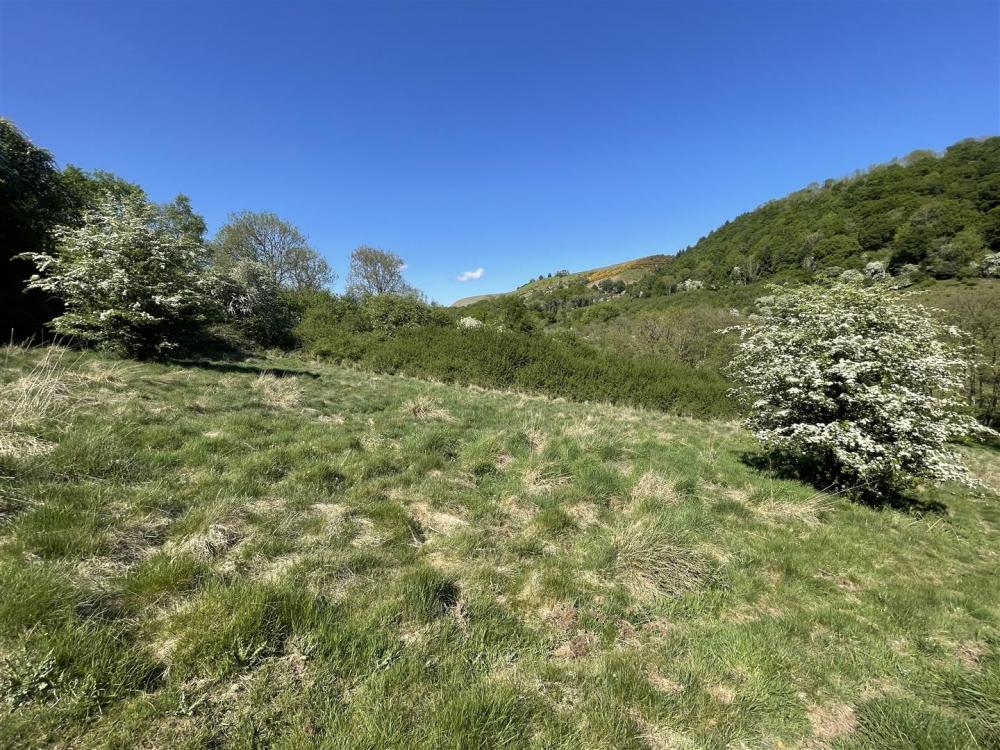
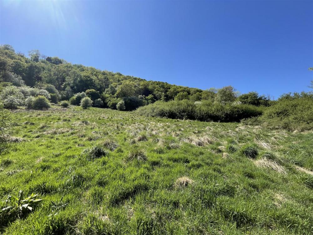
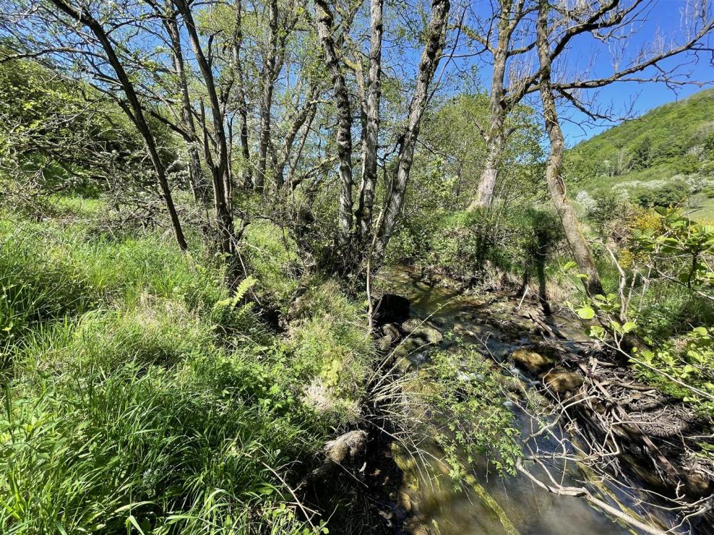
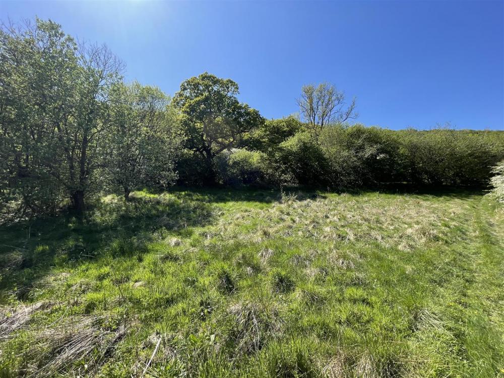
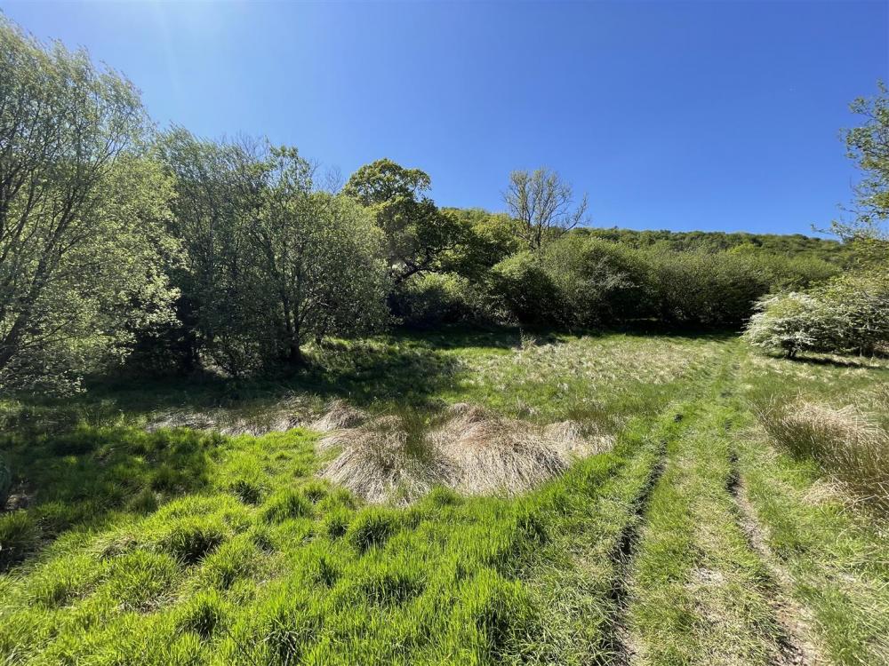
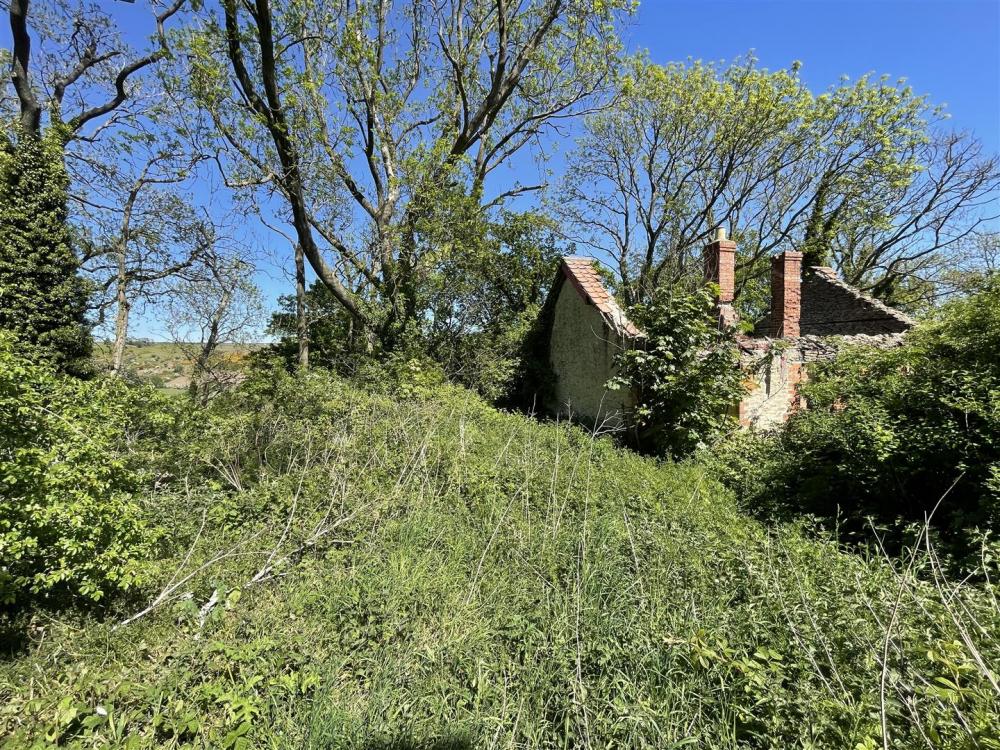
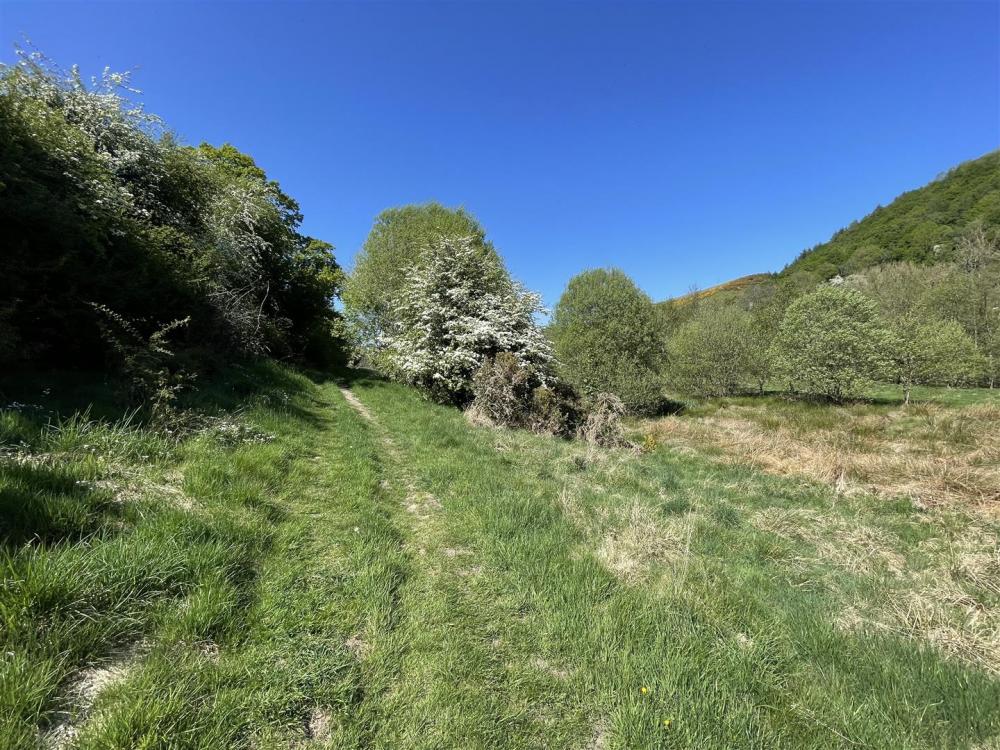
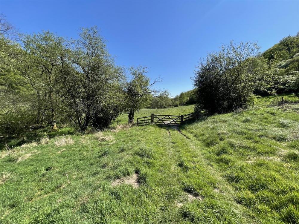
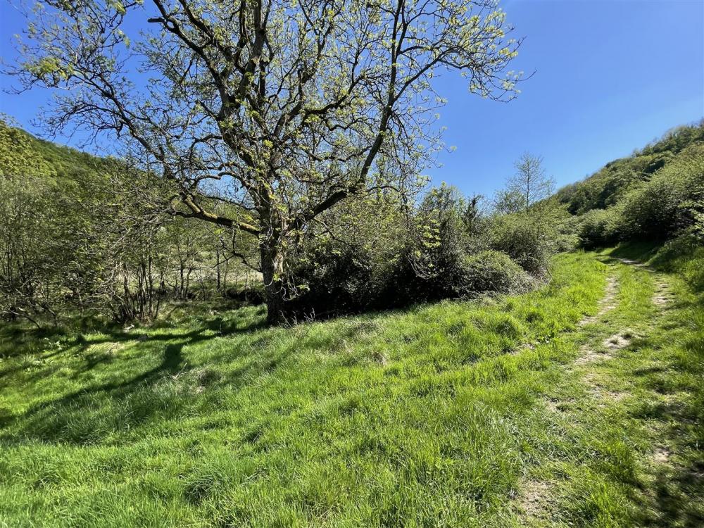
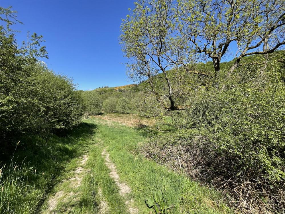
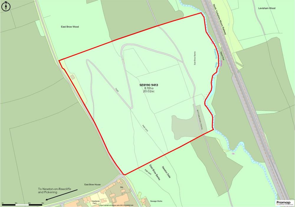
A rare opportunity to purchase a block of established grass and wood land, situated in this idyllic location of Newtondale, within the North York Moors National Park. The land in all extends to 20.02 acres (8.91 hectares) or thereabouts, and comprises established mixed broadleaf woodland which slopes down to the valley bottom and areas of grass and scrubland, towards Pickering Beck, which forms the eastern boundary. The land is all situated within part of the Newtondale Site of Special Interest (SSSI), with high natural capital, biodiversity and conservation features. Ideal for those with agricultural, woodland and wildlife interests.
FOR SALE BY INFORMAL TENDER WITH BEST AND FINAL OFFERS TO BE RECEIVED AT OUR MALTON OFFICE BY 4PM ON TUESDAY 24TH JUNE 2025
- 20.02 acres (8.91 hectares) established wood and grass land
- High natural capital and biodiversity features
- Forms part of Newtondale SSSI within the North York Moors National Park
- Ideal for those with agricultural, woodland and conservation interests
- FOR SALE AS A WHOLE
- Guide Price: £50,000
LOCATION
The land is located to the south of Newton on Rawcliffe with access along an unmade section of East Brow Road. The land is situated within North York Moors National Park.
DESCRIPTION
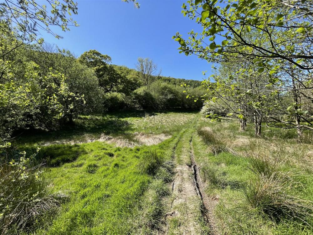
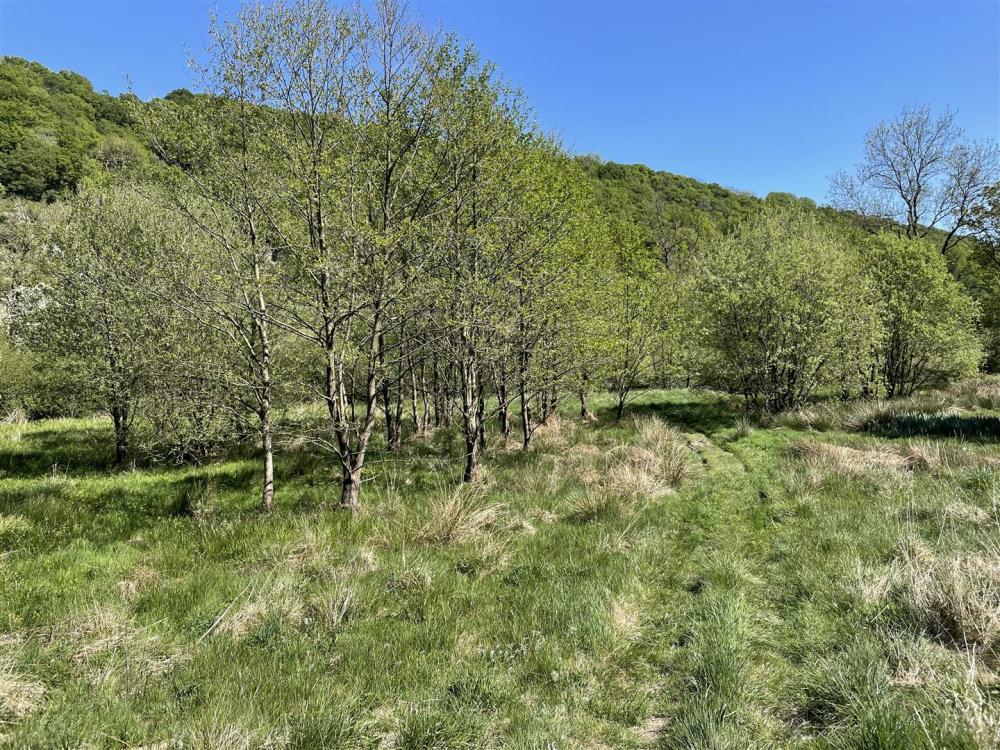
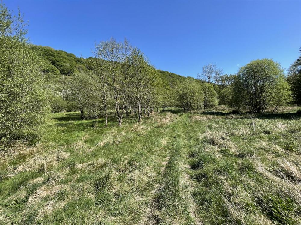
This important block of wood and grass land extends to approximately 20.02 acres (8.10 hectares), situated in this highly attractive rural position within the North York Moors National Park. Pickering Beck runs along the eastern boundary of the whole of the land and the North York Moors Railway line is situated just beyond the boundaries to the land.
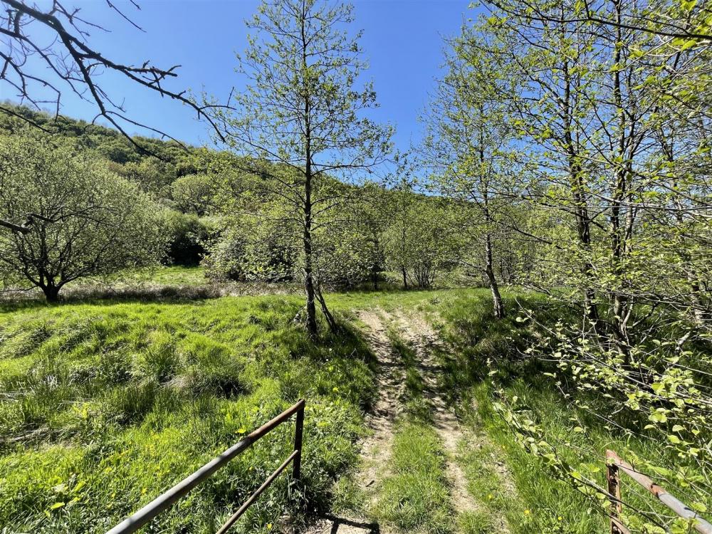
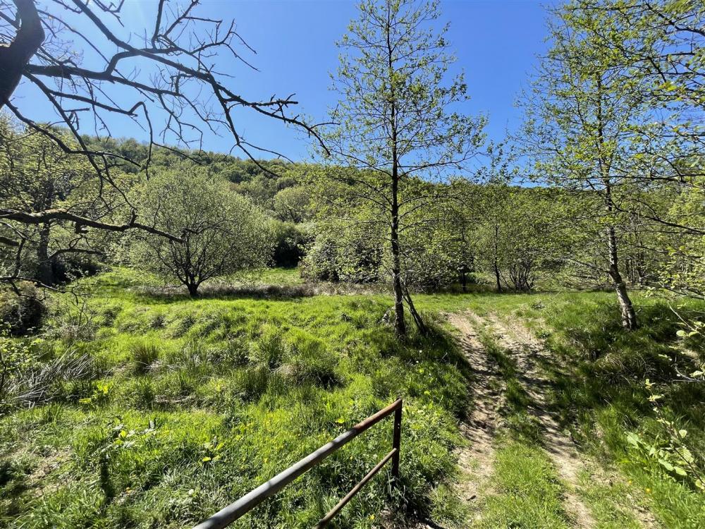
The land incorporates large sections of semi-natural broad-leaf woodland and valley bottom grassland. The land is steep-sided along the side of the valley, ranging from approximately 160m x 70m Above Ordnance Datum. The land is accessed along an unmade section of East Brow Road, with a woodland track leading to the base of the valley.
All the land is situated within the Newtondale Site of Special Scientific Interest (SSSI), with high natural capital, biodiversity and conservation features. Further details, relating to the SSSI designation are available from the selling agents or Natural England website.
LAND CLASSIFICATION AND SOIL TYPE
The land is classified as Grade III on the Agricultural Land Classification Maps, and the soil type is predominantly identified in the Dale Series characterised as slowly permeable seasonally waterlogged clayey, fine loamy over clayey and fine silty soils on soft rock, often stoneless.
SITE OF SPECIAL SCIENTIFIC INTEREST (SSSI)
All the land is situated within and forms part of the Newtondale SSSI.
Further details available from https://designatedsites.naturalengland.org.uk.
SERVICES
None known.
WAYLEAVES AND EASEMENTS
We are unaware of any wayleaves or easements that cross the land.
SPORTING, TIMBER AND MINERAL RIGHTS
Sporting, timber and mineral rights are included within the sale so far as they are owned.
RIGHTS OF WAY
There is a public footpath which crosses the land, from north to south. The property is sold subject to all rights of way, public or private, whether mentioned in these sales particulars or not.
VIEWING
By permit from the Agents only. The woodland track and access from East Brow Road is particularly steep in places and interested parties must take appropriate caution when viewing. All viewings are to be on foot only. Please note if you have downloaded these particulars from our website you must contact the office to register or you will not be included on further mailings regarding this sale. Please also register at www.boultoncooper.co.uk for regular email updates for this property and other available properties.
WHAT3WORDS
///strides.unhelpful.newsstand
METHOD OF SALE
For Sale by Informal Tender with Best and Final offers to be received at our Malton office by 4pm on Tuesday 24th June 2025.
TITLE NUMBER
NYK195590. A copy of the title plan is available from the selling agents.
TENURE
Freehold with vacant possession upon completion.
ANTI-MONEY LAUNDERING REGULATIONS
The Agent must comply with Anti Money Laundering Regulations. As part of the requirements, the Agent must obtain evidence of the identity and proof of address of potential buyers. Prior to an offer being accepted, all parties who are purchasing must provide the necessary evidence.
AGENT CONTACT
Henry J Scott MRICS
07739 983806 / 01653 692151
henry.scott@boultoncooper.co.uk
VENDOR'S SOLICITOR
Hague & Dixon
12 Smiddy Hill, Pickering, YO18 7AN
PLANS, AREAS AND MEASUREMENTS
The plans, areas and measurements provided are a guide and subject to verification with the title deeds. The land is identified on the attached plan, shown edged in red. It will be the responsibility of any prospective purchaser to plot the boundary of the land following the sale and to carry out an adequate inspection and site survey to satisfy themselves where the extent of the boundaries will lie.
Loading... Please wait.
Loading... Please wait.