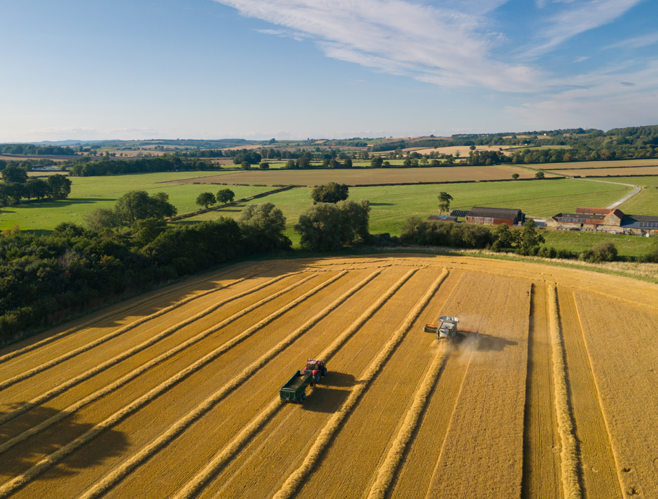
GPS Surveys & Mapping

We use the latest Ordnance Survey digital OS Master Map & Vector Map data to produce detailed plans to suit your needs.

On the ground using the latest GPS Equipment and Geographical Information Systems, we can collect detailed information about your land and map this information as a permanent record.

We can prepare traditional estate wall maps for use in the office through to professional land registry compliant plans and GIS reports for a range of uses.

We use this technology to provide detailed measurements of property boundaries and record new or amended boundaries and record information on agri-environment schemes, greening and ecological focus areas as well as recording the extent of crop loss claims and recording location-based photographs in the event of damage to land.

OUR EXPERTISE:

  • Farm & Estate mapping for all purposes
  • Land Registry compliant plans
  • GPS field measurements and mapping
  • New boundary or feature mapping
  • Rural asset mapping
  • Schedules of environmental features on farm
  • Detailed schedules of condition
  • Detailed measurements for compensation claims and crop loss
  • Geo referenced data capture
  • Geo referenced photographs

CONTACT

CONTACT

Please contact us for a free appraisal of the help you need and an estimate of the cost:

Beth Dickinson

01653 692151

BoultonCooper in association with:

WordPress Lightbox